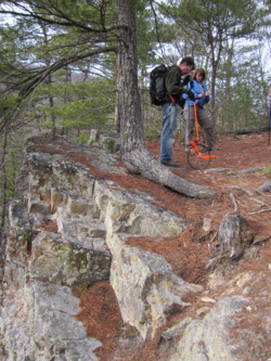
 David Kanagy and Nancy Hall
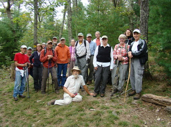
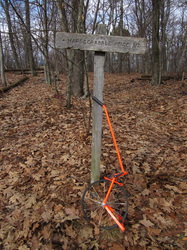
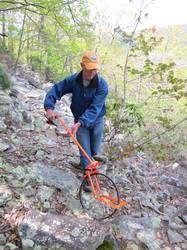
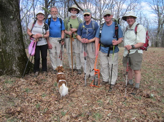
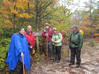
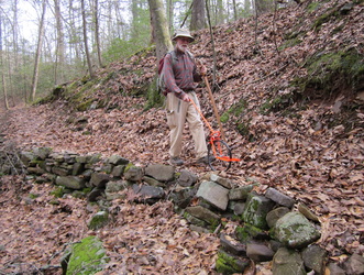
 For the past two years, members of the Southern Shenandoah Valley Chapter of PATC have been pushing a measuring wheel on every single mile of trail in the proposed Shenandoah Mountain National Scenic Area. The accurate mileages for the 150 miles of trail will be used in an upcoming PATC Guidebook to the Great Eastern Trail and Shenandoah Mountain. The club will also share its data with the GW North River Ranger District to be used in National Geographic Trails Illustrated Map for Staunton Shenandoah Mountain and for trail signs. The SSVC measuring project will benefit hiker, mountain bikers, hunters, and everyone else who uses the trails on Shenandoah Mountain.



 RSS Feed