Groom's Ridge Trail - off Tilman Rd., 3.4 miles round trip, Difficult (1250 feet elevation change)
 Click to enlarge map.
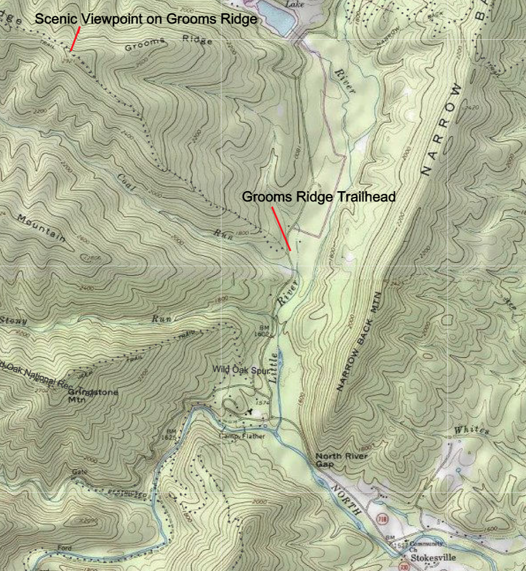
From Stokesville, take State Route 718 through North River Gap. As you cross a bridge over Little River, you will see Girlscout Camp May Flather on the left. Take a right on Tilman Rd. (FR 101) and go .8 mile. Watch for a yellow-blazed trailhead for Grooms Ridge Trail on the left. Park on the right side of the road.
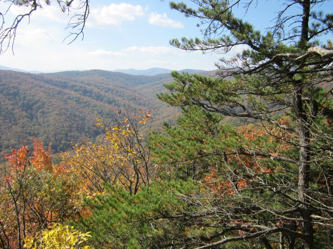
The trail through an oak/hickory forest begins with an easy grade, but soon becomes steep. Follow the blueberry-lined trail for 1.7 miles until you reach a rocky high point at 2921 feet elevation with a great view of Reddish Knob, Buck Mountain, Big Ridge, and Little Bald Knob. This viewshed is within Friends of Shenandoah Mountain's proposed 12,600-acre Little River Wilderness, which lies in the very heart of the proposed Shenandoah Mountain National Scenic Area.
This high point on Grooms Ridge is a great place to rest and enjoy the scenic beauty before heading back down the mountain. Fall is an ideal time to take this hike.
See Google directions to Stokesville.