Short Hikes
|
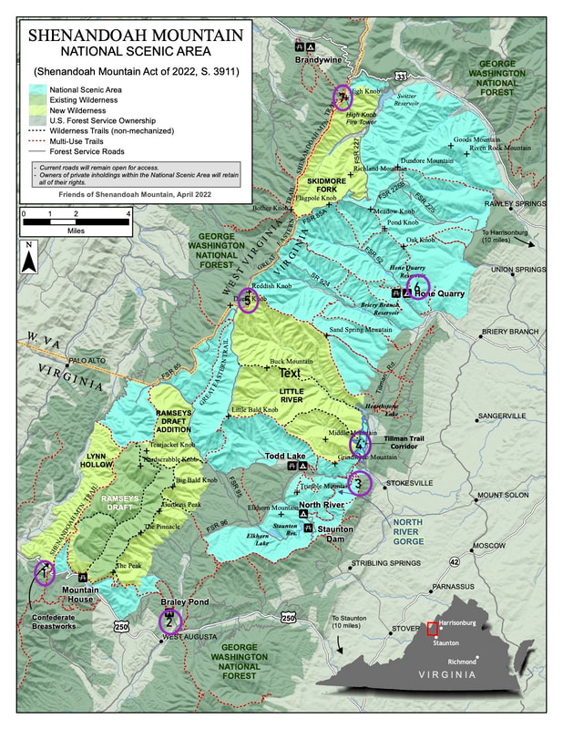
The best way to explore our proposed Shenandoah Mountain National Scenic Area is to take a hike. The proposal area has 150 miles of trails, some of which are quite remote and challenging.
Following are some short hikes offering scenic views, good birding, a hemlock forest, a Civil War site, a waterfall, a historic fire tower, and more. Click on each hike to see a description, map, directions, and photos.
For safety, wear sturdy shoes and take food, water, and a rain coat. Be sure to carry a map with you: Trail map: National Geographic Trails Illustrated Staunton Shenandoah Mtn Print map available in local outdoor stores. Downloadable map app available through Avenza. Hiking guide: Shenandoah Mountain Trails: A Guide to Trails on Shenandoah Mountain in Rockingham Augusta, and Highland Counties Virginia. 2nd ed. Potomac Appalachian Trail Club, 2021. Questions? Contact [email protected] |
