Shenandoah Mountain Proposed National Scenic Area
|
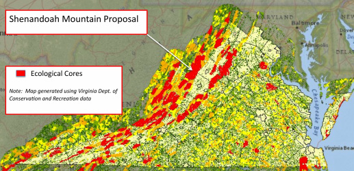
Friends of Shenandoah Mountain proposed that GWNF land on Shenandoah Mountain between Rt. 250 and Rt. 33 be designated a National Scenic Area with four embedded Wilderness areas:
Where: Augusta, Highland, and Rockingham Counties, North River Ranger District of the George Washington National Forest Size: approx 92,000 acres Boundaries: from Rt. 250 to Rt. 33, West Virginia border. Private land is excluded from the National Scenic Area and Wilderness. Current roads will remain open for access. Notable Characteristics:
Shenandoah Mountain offers some of the most spectacular scenery in Virginia. The undulating ridgeline serves as a backdrop for the Shenandoah Valley, enjoyed daily by those of us fortunate enough to live in the Valley and those who pass through on Interstate 81 alike. When we see a storm coming or a glorious sunset, we look toward Shenandoah Mountain. Those who venture to Reddish Knob are inspired by the panoramic view of the surrounding area. Shenandoah Mountain is more than a beautiful mountain; it is part of our culture and history. Protecting its beauty should be our generation’s legacy to our children and grandchildren. The 92,000-acre section of Shenandoah Mountain that lies between Rt. 250 and Rt. 33 in Virginia knits together one of the most significant concentrations of roadless wildlands in the Southern Appalachians. It includes the 6,519-acre Ramseys Draft Wilderness and seven areas identified in Virginia Mountain Treasures: The Unprotected Wildlands of the George Washington National Forest (The Wilderness Society, 2008). The Shenandoah Mountain area between Rt. 250 and Rt. 33 includes 10 named peaks that rise above 4,000 feet. The highest point is Reddish Knob which offers a 360-degree panoramic view of surrounding mountain valleys.
|
GWNF recommendation
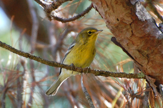
The new George Washington National Forest management plan, released on Nov. 18, 2014, recommends the Shenandoah Mountain National Scenic Area for Congressional designation, along with Little River Wilderness and an addition to Ramseys Draft Wilderness! This recommendation is a big step forward, but we must still work toward federal legislation. In addition to working toward protection of this large core area, Friends of Shenandoah Mountain continues to support increased management activities, through timber cutting and prescribed burning, to create young forest habitat for the benefit of many species such as turkey, grouse, deer, and many songbirds. |
|
Virginia Mountain Treasures on Shenandoah Mountain
|
Peaks Above 4000 Feet
|
Shenandoah Mountain’s eastern flank forms a major drainage divide for the headwaters of two major rivers, the Potomac to the north and the James to the south, both of which flow into the Chesapeake Bay. The North River and its tributaries drain most of the Shenandoah Mountain area, flowing into the Shenandoah River and on to the Potomac River. Ramseys Draft, Shaws Fork, and the Calfpasture flow from the southern end to the James River. Several streams in the Shenandoah Mountain area support native trout populations.
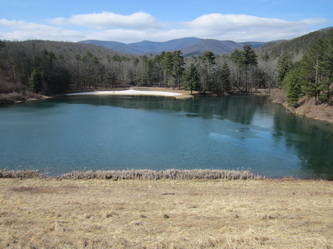
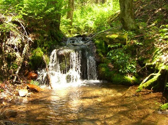
Perennial springs high on the mountains give rise to numerous pure streams, such as Skidmore Fork, North River, Black Run, Gum Run, Maple Springs Run, Little River, Hone Quarry Run, Briery Branch , Shaws Fork, Calfpasture River, and Ramseys Draft. These streams support aquatic life and provide abundant clean drinking water for municipalities in the Shenandoah Valley, including Harrisonburg, Staunton, and Bridgewater. Some of these mountain streams are dammed for municipal water supply, flood control, and recreation.
The value of these streams and reservoirs will increase as our population grows and clean water becomes more scarce. National Scenic Area designation will provide permanent protection of these critical watersheds. Reservoirs and lakes would continue to be maintained.
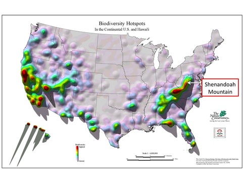
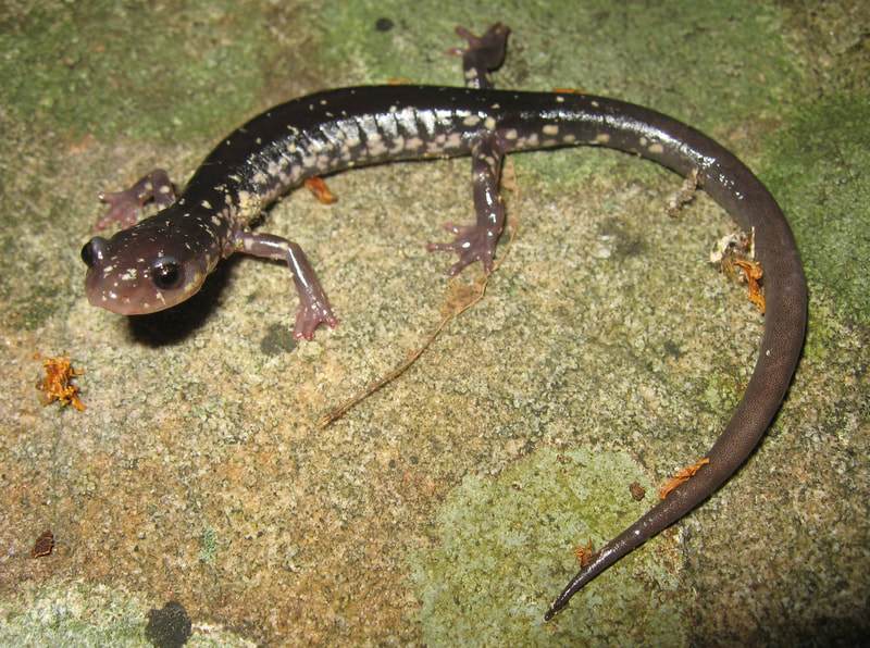
The area provides habitat for numerous plants, animals, and natural communities deemed special enough by scientists and government agencies to require protection. One of these, the Cow Knob Salamander, is found nowhere else on earth. The Shenandoah Mountain Crest – Cow Knob Salamander Conservation Area, a 43,000 acre area above 3,000 ft in elevation, is home to a variety of rare species and unique natural communities, including at least 15 species of plants and at least 13 species of animals and their habitats. This Shenandoah Mountain Crest includes the following Virginia Division of Natural Heritage Conservation sites:
- Bother Knob- High Knob – 1,618 acres
- Dunkle Knob – 25 acres
- Little Bald Knob – 10,866 acres
- Maple Springs – 102 acres
- Puffenbarger Glade – 147 acres
- Reddish Knob – 4,092 acres
- Skidmore – 2,313 acres
