Hone Quarry Hikes
Hone Quarry Recreation Area has something for everyone: a picnic area, a campground, a fishing lake, a waterfall, a hemlock forest, and hiking trails for all ages and abilities. Following are several short hikes, each offering different attractions to enjoy.
Hone Quarry Recreation Area is located about 2.2 miles west of Briery Branch. Get directions from Google Maps
Hone Quarry Recreation Area is located about 2.2 miles west of Briery Branch. Get directions from Google Maps
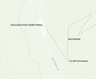
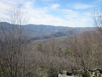
- . Cliff Trail This is a steep rocky trail, but it is only .5 mile to a scenic overlook with views of Shenandoah Mountain and another .3 mile to a second overlook. From Picnic Shelter Parking, cross FR 62 to find the trailhead.

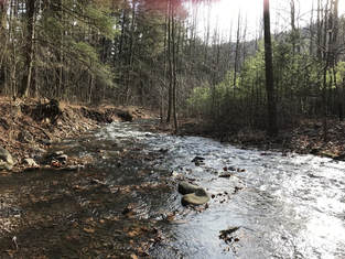
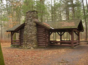
2. Hone Quarry Picnic Area - Campground Loop This .5-mile wheelchair accessible trail through a beautiful hemlock forest is great for birding and wildflowers. From Hone Quarry Picnic Area Parking, cross the ramped bridge to Hone Quarry Picnic Shelter (constructed by the Civilian Conservation Corps (CCC) in the 1930s). Walk through the clearing to Hone Quarry Run a native brook trout stream. Take time to turn over a rock and you may see a salamander or a crayfish. Take a wide path through the forest to the Campground and walk around the campground loop to FR??. Return to the Parking area by the road or by a path from the restrooms to the picnic shelter.
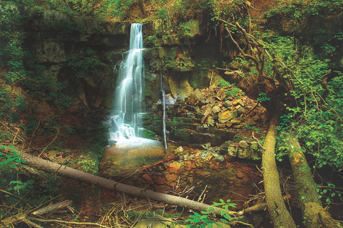
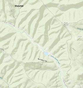
3. Hone Quarry Falls 4.3 miles round trip from Hone Quarry Lake with about 600' elevation change. The hike follows FR 62 for 1.5 miles. The road is lined with wildflowers in Spring. Turn right on Slate Springs Trail (428A) and hike .25 miles. Bear right at Falls sign and continue .4 mile to the falls on the right. This is a great spot for birding. Be sure to take time to sit on a log and enjoy the beauty of the falls before you head back.
4. Hone Quarry Loop 5.4 mile Loop. Begin just past the low water bridge. Take Heartbreak Trail for 1.3 miles to the crest of Hone Quarry Ridge, Turn right on Hone Quarry Ridge Trail and go 2 miles. Near the end of the 2 miles, you will see a great overlook with views of Reddish Knob and surrounding ridges. Take a right onto Big Hollow Trail and descend 2 miles to the starting point, crossing a small stream the last mile.

